Client Work
Conservation.gov
Led the design for the White House's Conservation.gov initiative. Interactive GIS mapping tool for the 30x30 conservation program using Esri.
Client Work
Led the design for the White House's Conservation.gov initiative. Interactive GIS mapping tool for the 30x30 conservation program using Esri.
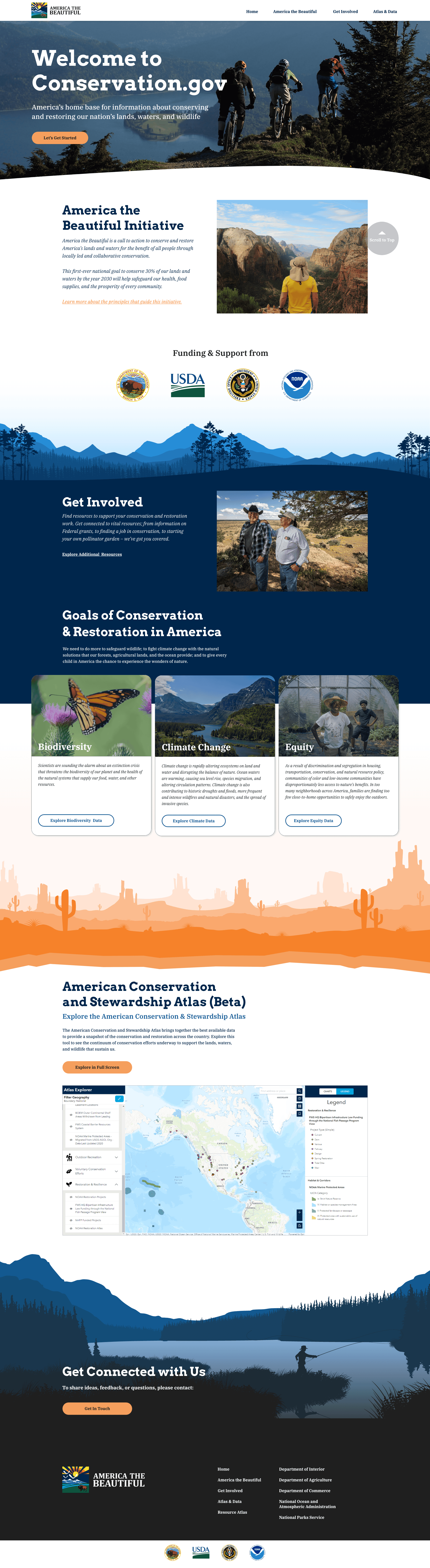
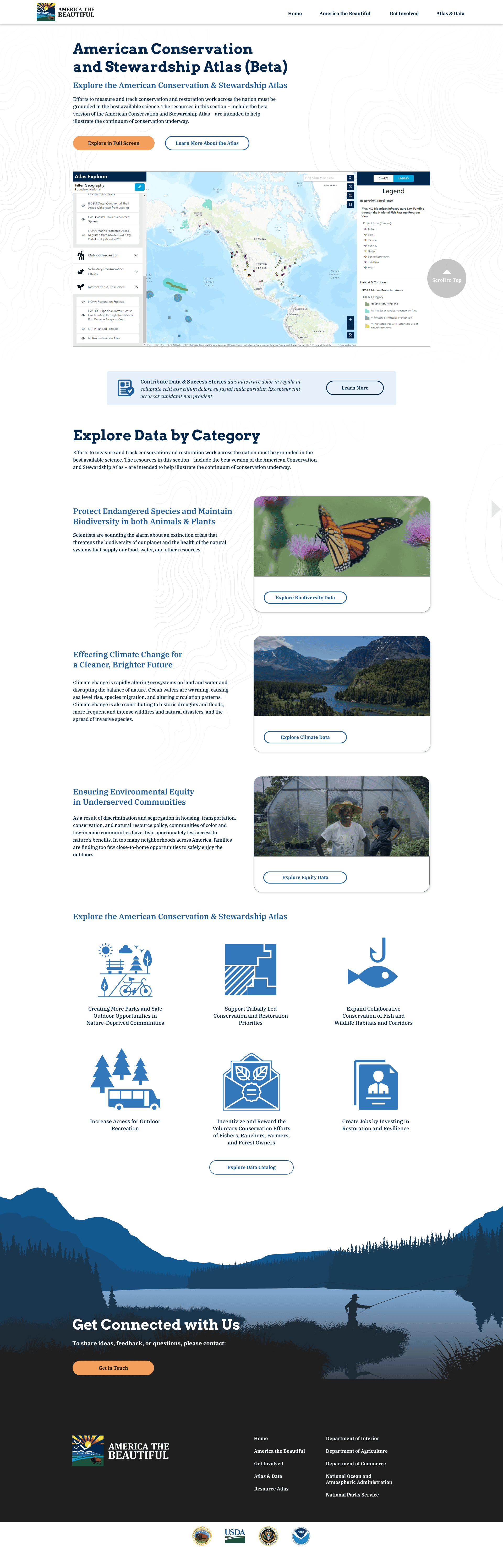
I led the design for the White House's Conservation.gov initiative, an open resource tool built on Esri GIS for the 30x30 program. The goal is ambitious: conserve 30% of U.S. lands and waters by 2030. That kind of mandate requires tools that actually work for the people on the ground, not just look good in a press release.
This was a White House initiative, which meant working within strict federal design standards. There's a whole layer of compliance and accessibility requirements you don't deal with on a typical project. The challenge was meeting all of those constraints while still making the experience engaging enough that community leaders would actually want to use it. Nobody benefits from a tool that checks every box but collects dust.
The GIS data was the real puzzle. We were pulling from USGS datasets, National Parks data, and other federal sources. Raw, it's overwhelming. I worked on simplifying that information into layered views that non-technical community leaders could browse, filter, and actually understand. A county supervisor in rural Montana shouldn't need a GIS certification to see which parcels in their area are conservation priorities.
The interactive map lets policymakers and local leaders pinpoint areas needing preservation, track progress toward the 30x30 targets, and collaborate across jurisdictions. I'm proud of how the interface balances the density of real geographic data with a clean, approachable layout. It's the kind of project where the design disappears when it's working right, and you just see the information.